KUALA LUMPUR (Thomson Reuters Foundation) – A group of more than 30 researchers from six countries is preparing to create the first detailed images, maps, and monitors of earthquake-prone regions of Asia.
The project will cover 435 square miles of an onshore subduction zone that is an extension of the one the caused the 2004 tsunami that took the lives of more than 200,000 people caught unaware. The project will take four years to complete.
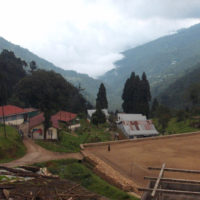
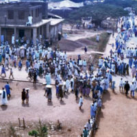
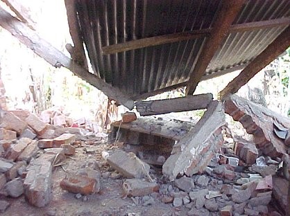
The result of the endeavor should be to help provide early warning of potential quakes in one of the poorest and most densely populated areas on the earth. Widespread damage from future shocks could flatten buildings and fragile infrastructure affecting over 140 million people in South Asia.
Professor Michael Streckler of the Lamont-Doherty Earth Observatory at Columbia University has said that “This particular area has never been (mapped) before in anything close to this scale.”
Streckler, who will head the project, added, “We know so little about what the geometry of the fault is under there that is is very hard to make accurate assessments” about the status of the fault and the potential for quakes.
The team is preparing an operations base outside of Dhaka. Over a ton of specialized instruments and equipment are scheduled for arrival at the station before the end of January, with fieldwork to begin in northeast Bangladesh, India, and Myanmar in March of this year.
India’s Director of the National Center for Seismology, Vineet Gahalaut, told Thomson Reuters, “vulnerability is very high (in this region) because the structures, conditions, and preparations are poor and awareness is (minimal)”
The goal of the project is not limited early warning of potential quakes, but also to generate awareness of the damage that can be wrought by earthquakes in the region and to develop way cost-effective ways to minimize the extent of damage should a quake occur. The latter would likely include creation or revision of building codes that include construction materials and techniques to make individual building and entire communities more secure.
Sources: Thomas Reuters Foundation, Scientists to map quake-prone Asian region in hope of mitigating disaster
Image: Wikimedia Commons, public domain